The Land of the Bible Explained: Why Every Empire Fought Over It
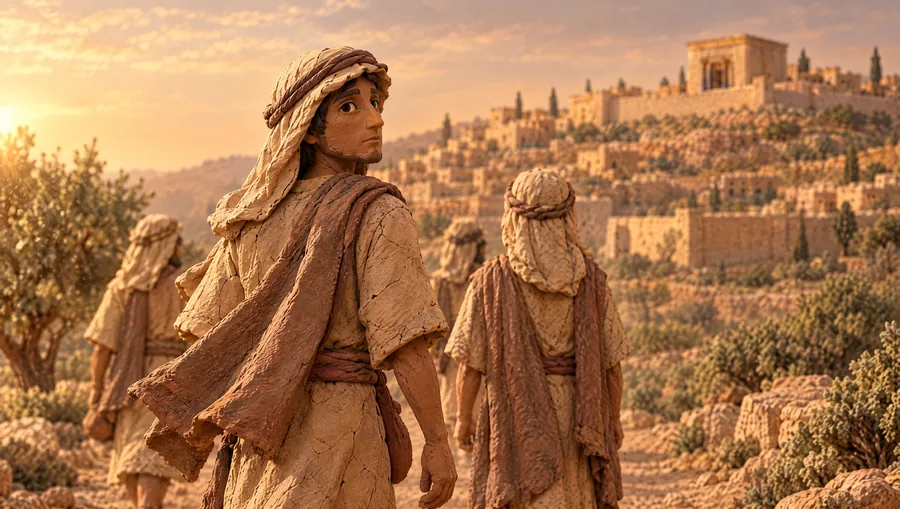
Pick almost any century in the Bible, and you’ll find an army on the same road. Egypt, Assyria, Babylon, Persia, Alexander and Rome all came through one narrow strip of land between the sea and the desert. Why did every empire fight over it, and why did God put his people right in the middle of it?
This is the land of the Bible, set on the map table: the land between the great river kingdoms, the five strips from the coast to the desert, the rain that shaped farm life and faith, the two great roads and the pass at Megiddo, the empires that came through, and four famous stories read against the ground they happened on.
Fair on the debates
Where Christians and scholars differ (here, the route of the Exodus, how Revelation uses Armageddon, when and how Isaiah 19’s highway comes true, and what the land promise means for the future), we name the question and save the views for the books that raise them. The maps show the land’s real terrain with the places named as they were in Bible times; where an era or a modern name matters, we say so on screen.
Transcript
Introduction
0:00Pick almost any century in the Bible, and you’ll find an army on the same road. Egyptian chariots, rolling north along the coast toward the Euphrates. Assyrian soldiers, marching south down that road toward Egypt. Then Babylon. Persia. Alexander the Great. And finally, Rome. They all came through one narrow strip of land, squeezed between the sea and the desert. From top to bottom, it’s about 150 miles. You could drive it in an afternoon.
So why did every empire in the Bible fight over the same small strip? Because it was the only road between them. And God put his people right in the middle of it. Why there? This is Map & Lamp, where we go through the Bible one book at a time. And this is the map table. Every book on this channel starts here. Today, before the next book, we’re looking at the land itself, the stage for the whole Bible.
By the end, you’ll know three things. The five strips of land between the sea and the desert. The roads that made this little country the crossroads of the ancient world. And why that changes how you read almost every book.
The land between
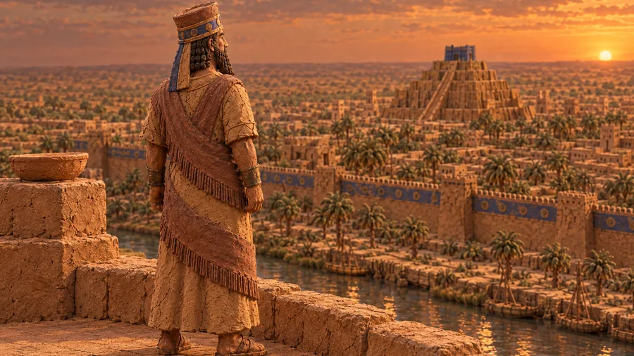
1:14Start wide. At one end of the ancient world is Egypt, fed by the Nile. At the other end is Mesopotamia, between the Tigris and the Euphrates, home to Assyria and Babylon. The great river kingdoms, rich in grain and people.
Between them lies the Arabian Desert. No army could march straight across it. So travel bent around it, along the arc of good land we call the Fertile Crescent: up the Euphrates, across through Syria, and down toward Egypt. And at the bottom of that arc, where the road narrows between the Mediterranean Sea and the desert, is the land of the Bible.
The Bible has its own phrase for its full length: “from Dan to Beersheba”. Dan sits under Mount Hermon in the north, at one of the Jordan’s springs. Beersheba sits at the edge of the southern desert. That’s the 150 miles. From the coast to the Jordan Valley, it’s about 30 miles across in Galilee, and under 60 down by the Dead Sea.
It never had a great river, and for most of its history it wasn’t a great power. But anyone going between Egypt and Mesopotamia, to trade or to make war, had to come through it. This is the land between.
Five strips
2:34Now let’s zoom in. The Bible names the regions itself. Moses lists them in Deuteronomy: “in the Arabah, in the hill country, in the foothills, in the Negev, and along the seacoast”. Think of them as strips running north to south, and cross from west to east. First, the coastal plain. Flat and sandy, with almost no natural harbors, so Israel was never much of a sea people. In the south, this was Philistine country: Gaza, Ashkelon, Ashdod.
Second, the foothills, called the Shephelah. Low, rolling hills, cut by valleys that climb from the coast into the mountains. Whoever held these valleys held the door to the hills. Remember that. Third, the hill country, the spine of the land. This is where Israel lived: Hebron, Bethlehem, Jerusalem, Shiloh, Shechem. Terraced slopes, olive trees, vineyards, sheep. Jerusalem sits about 2,500 feet up. Fourth, the Jordan Rift, the Arabah in Moses’ list, a deep crack in the earth’s crust.
The freshwater Sea of Galilee at the top, about 700 feet below sea level. The Jordan River winding south. And the Dead Sea at the bottom, about 1,400 feet below sea level today, the lowest land on earth. Fifth, the Transjordan, the high plateau beyond the river: Gilead, Ammon, Moab and Edom. Add the Negev, the dry south around Beersheba, and the hills of Galilee in the north, and you have the whole board.
Rain from heaven
4:14Here’s the difference that shaped everything. Egypt never had to wait for rain. The Nile rose every year and watered the fields. This land was different, and Moses tells Israel so before they cross the Jordan. “But the land that you are crossing the Jordan to possess is a land of mountains and valleys that drinks in the rain from heaven.” The rain comes in off the sea in winter, the autumn and spring rains, and falls on the western slopes.
Jerusalem gets about 22 inches a year. Then the ridge blocks it. Jericho, 14 miles east and down in the rain shadow, gets about six. Farm life here meant watching the sky. A dry winter meant a hungry year. The terrain shaped history too. In the hills, chariots were close to useless. On the plains, they ruled. Judges says it plainly: Judah “took possession of the hill country; but they could not drive out the inhabitants of the plains because they had chariots of iron”.
That was the pattern for generations. Israel in the hills, its neighbors’ chariots on the plains.
The roads
5:25Now the roads. Two main routes ran north to south. The big one followed the coast up from Egypt. Isaiah calls a stretch of it, up in Galilee, the Way of the Sea. The second was the King’s Highway, across the river on the eastern plateau.
Israel asked to use it on the way to the promised land: “We will stay on the King’s Highway until we have passed through your territory.” The coast road had one hard spot. Near the top of the coastal plain, a ridge called Mount Carmel juts out toward the sea. To get past it, traffic squeezed through narrow passes into the wide Jezreel Valley, and the city guarding the main pass was Megiddo. Hold Megiddo, and you held the road.
Solomon fortified it, along with Hazor and Gezer, two more gates on the same road. And battle after battle was fought in that one valley. Deborah’s song remembers kings who fought “by the waters of Megiddo”. Gideon fought the Midianites there. Saul died on its edge, on Mount Gilboa. And in 609 BC, Judah’s good king Josiah was killed at Megiddo by Pharaoh Neco of Egypt, marching north on that very road. The name Armageddon, in Revelation 16:16, is usually traced to the Hebrew Har Megiddo, the mountain of Megiddo.
How Revelation uses it is a question for that book. The Exodus turns on a road too. When Israel left Egypt, God “did not lead them along the road through the land of the Philistines, though it was shorter”. That was the coast road, and Egypt had lined it with forts.
The empires
7:08So the empires came, one after another, and the land between paid for it. Egypt came first. About 1208 BC, Pharaoh Merneptah set up a victory stone listing places he claimed to have crushed in Canaan. One of them is a people called Israel. It’s the oldest clear mention of Israel outside the Bible.
Later, Shishak of Egypt attacked Jerusalem. Then Assyria, from the north. In 722 BC it took Samaria, capital of the northern kingdom, and carried its people away. In 701, Sennacherib besieged Lachish, the fortress city of Judah’s foothills, and he had the siege carved on his palace walls at Nineveh. Remember the foothills. He was working up the valleys toward Jerusalem. Then Babylon, which burned Jerusalem in 586 BC, the story behind our Daniel episode.
Then Persia, which let the exiles go home. Then Alexander the Great, marching down the coast to Egypt in 332 BC. Then Rome, arriving in 63 BC. Squeezed in the middle, Israel’s kings kept trying to play one giant against the other. The prophet Hosea had a picture for it. “So Ephraim has become like a silly, senseless dove—calling out to Egypt, then turning to Assyria.” Ephraim is his name for the northern kingdom. A little country on the only road, looking for safety in the wrong place.
Read it on the map
8:39Now watch what the map does to stories you already know. David and Goliath. The text gives the place: the Philistines camped between Socoh and Azekah, Israel in the Valley of Elah, and “The Philistines stood on one hill and the Israelites stood on another, with the valley between them.” Elah is one of those foothill valleys. The Philistines were pushing up from the coast toward the hill country. This wasn’t a random duel. It was a fight for the door to the hills.
The Good Samaritan. Jesus begins, “A man was going down from Jerusalem to Jericho”. Down is the right word. It’s about 14 miles, and the road drops more than 3,000 feet through dry, empty hills. Everyone listening knew how lonely that road was. Jonah. Sent to Nineveh, far to the east, he goes the other way, “down to Joppa”, on the coast, and boards a ship heading west. And Jesus. He grows up in Nazareth, on a ridge above the Jezreel Valley, within sight of the old battlefield.
Then he moves to Capernaum, on the Sea of Galilee, near the main road. Matthew sees Isaiah’s words coming true: “Land of Zebulun and land of Naphtali, the Way of the Sea, beyond the Jordan, Galilee of the Gentiles”. Jesus made his home in a town on the road, where the nations passed through.
Behind the Text
10:05Here’s what an ancient reader would have caught. Remember the rain. In a land that lived or died by winter rain, the most tempting god was the one who claimed to send it. The Canaanites called him Baal, the storm god. Clay tablets dug up at Ugarit, an ancient port on the Syrian coast, tell his stories. A carved stone from the same city, now in the Louvre, shows him striding forward with a club raised over his head, and in his other hand a spear that branches like lightning, or like a growing plant.
Rain, storm, harvest. That was his territory. Now read Elijah. His first words to King Ahab are about rain: “there will be neither dew nor rain in these years except at my word!” In the third year, the showdown comes on Mount Carmel, the ridge that catches the rain off the sea. Baal’s prophets call all day and get no answer. Then the fire of the LORD falls, and the people fall facedown and say, “The LORD, He is God! The LORD, He is God!”
And then, at last, the rain comes. The land tells you what was at stake on Carmel. The question was who is God. And in this land, that meant, among other things: who sends the rain?
Where It Points
11:28So why put God’s people here, on a narrow strip that every empire wanted? Go back to the start. When God calls Abraham into this land, the promise already reaches past it: “all the families of the earth will be blessed through you”. Ezekiel records God saying Jerusalem was set “in the center of the nations”. Then Isaiah sees the road itself changed. The same road the armies used. “In that day there will be a highway from Egypt to Assyria.
The Assyrians will go to Egypt, and the Egyptians to Assyria. The Egyptians and Assyrians will worship together.” And Israel stands with them: “Israel will join a three-party alliance with Egypt and Assyria—a blessing upon the earth.” Christians differ on when and how Isaiah’s picture comes true, and we’ll leave that for the book. But the thread, God’s blessing reaching the nations, runs straight into the New Testament. Jesus is born in Bethlehem, raised in Galilee of the Gentiles, and dies and rises in Jerusalem.
And before he ascends, he turns the road around: “you will be My witnesses in Jerusalem, and in all Judea and Samaria, and to the ends of the earth”. For centuries the empires came in on that road. Now the good news goes out on it. Christians read what the land promise means for the future in more than one way, and we’ll name those views fairly when the books raise them. But they agree on this much.
The promise of the land was never only about the land. From the start, the point was to bless the nations.
One Thing to Remember
13:07If you remember one thing from this episode, make it this. The land of the Bible is a narrow bridge between empires, and, as Scripture tells it, God put his people there, where the whole world would pass by. It was also a land that taught them to look up. Here’s how Moses described it.
“It is a land for which the LORD your God cares; the eyes of the LORD your God are always on it, from the beginning to the end of the year.”
Where to start
13:42That’s the land. Every book on this channel comes back to this table. If you haven’t yet, start with the Book of Daniel, and Who Was Nebuchadnezzar. Thanks for spending this time with me. I’ll see you in the next book.
Sources and further reading
Atlases: Carl G. Rasmussen, Zondervan Atlas of the Bible; Barry J. Beitzel, The New Moody Atlas of the Bible; The Carta Bible Atlas.
Rain and terrain: Israel Meteorological Service climate normals; elevations and distances measured on ETOPO 2022 and the OpenBible.info place data (below).
Roads, forts and the Exodus road: James K. Hoffmeier, Ancient Israel in Sinai (the Egyptian forts on the coast road). Armageddon and Har Megiddo: Robert H. Mounce, Revelation (NICNT); G. K. Beale, Revelation (NIGTC).
The empires: The Context of Scripture 2.6 (the Merneptah Stele); K. A. Kitchen, On the Reliability of the Old Testament; the Lachish reliefs, British Museum; Arrian, Anabasis 2 (Alexander at Tyre and Gaza); Josephus, Antiquities 14 (Pompey and Jerusalem). Hosea’s Ephraim: Douglas Stuart, Hosea–Jonah (WBC); Duane A. Garrett, Hosea, Joel (NAC).
Baal and the rain: The Context of Scripture 1.86 (the Baal Cycle); Mark S. Smith, The Ugaritic Baal Cycle; the Baal stele, Louvre AO 15775.
Map data
Terrain: NOAA NCEI ETOPO 2022 (doi:10.25921/fd45-gt74). Coastlines and rivers: Natural Earth. Place locations: OpenBible.info Bible Geocoding Data, CC BY 4.0.
Photo credits
Real museum photographs, cropped for this video; the crops carry the same licenses as the originals.
- Merneptah Stele, Egyptian Museum, Cairo: photo by Olaf Tausch, CC BY 3.0. commons.wikimedia.org/?curid=85150043
- Merneptah Stele, the line that names Israel: photo by Darer101, CC BY-SA 4.0. commons.wikimedia.org/?curid=132927918
- Lachish relief, Sennacherib enthroned, British Museum: photo by Zunkir, CC BY-SA 4.0. commons.wikimedia.org/?curid=88120935
- The Baal stele from Ugarit, Louvre (AO 15775): photo by Shonagon, CC0. commons.wikimedia.org/?curid=186442282
- Tablet of the Baal Cycle from Ugarit, Louvre (AO 16636): photo by Shonagon, CC0. commons.wikimedia.org/?curid=186442284
How this is made
Map & Lamp is animated in a handmade clay style. The story scenes are made with AI image and video tools, directed shot by shot; the maps are built in Blender from real terrain data, with the place names set on the map itself. Scripts are drafted with AI assistance, sourced to named works, checked against the text, and reviewed and approved by the creator before release. The narration is the creator’s own voice, produced with a voice model made from his recordings. Music and sound effects are licensed library recordings, not AI-generated.
Spot something we got wrong? Write to [email protected].